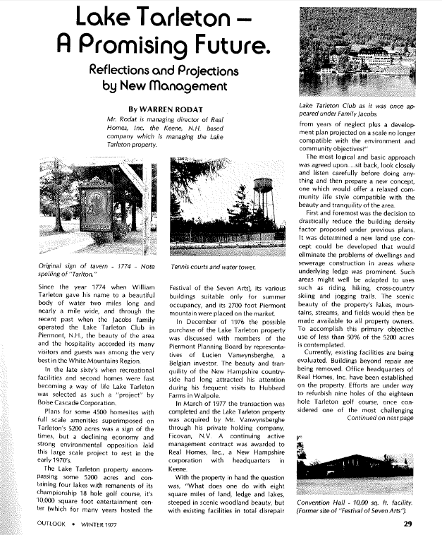
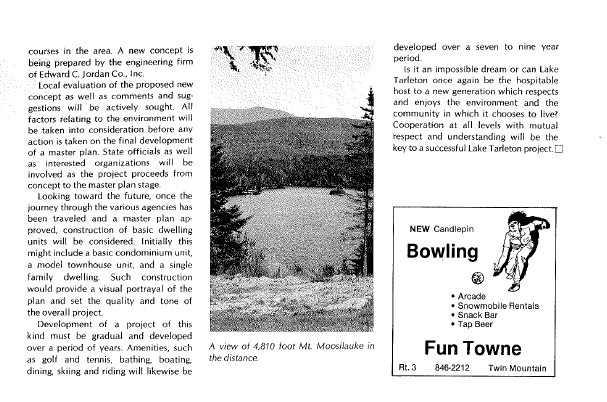
“Lake Turnover”
We had a beautiful, warm, and dry fall along the shores of Lake Tarleton. The weather remained unseasonably warm into November. With Daylight Savings Time coming to an end, the days are getting shorter, and it has begun to feel a bit like winter. One would presume, based on the abundance of fog on the lake most mornings, that the lake temperature remains above 39 degrees. Why 39° so specifically, you may ask?
It turns out that the 39° mark is a significant threshold to the chemistry of water, a fortunate thing for the creatures that inhabit all fresh water lakes. 39°F is the temperature of maximum water density, a driving factor in “lake turnover”- that critical phenomenon on which aquatic plant and animal life are dependant. My hunch is that as the high temperatures drop, and temperatures plummet to sub-freezing temperatures overnight, our own Tarleton will soon experience its annual all-important fall flip. The turnover process usually happens twice a year- in spring and fall. The agitation re-oxygenates the lake. Oxygen is crucial for the survival of all manner of plants, fish, crustaceans, insects, and algae. Trout require particularly high levels of oxygen for survival, and Tarleton is famous for it’s large lake trout!
Here’s how the process occurs: due to absorption of the sun’s energy during spring and summer, temperature differences develop in the varying depths of a lake and the water tends to stratify into different layers. Swimmers feel hot and cold spots as they dive down a bit. The middle layer, known as the thermocline, acts as a barrier to any mixing with the deep layers. As a result, the deep layers become quite depleted of oxygen towards the end of summer.
Once summer turns to fall and temperatures begin to drop, the water reaches that magical threshold of 39 degrees and it is at its densest. This temperature is first reached near the surface where the water has contact with the air. This top layer then sinks to the bottom of the lake, where it displaces warmer water, which floats to the surface where it can also cool. Thanks to this phenomenon, the stratification built up over the course of the summer is erased. The water from the depths of the lake, which is low in oxygen and filled with decaying matter and sulfurous gases, is brought to the surface. Thereafter, storms and sustained wind overturn and mix the water in the lake, bringing fresh oxygen into the lake. There is often a unique odor, which can be detected during the “fall turnover.” Have you smelled this telltale sign of the turnover at Lake Tarleton yet this fall?
If water didn’t have the special chemical properties that it does, the process of the coldest water sinking to the bottom would continue until the entire lake was one solid block of ice, freezing from the bottom up. Obviously, this would spell doom for most or all of the lake’s natural inhabitants!
39°F is the temperature of water’s maximum density. Below this point, until it freezes at 32°, water actually expands and becomes less dense, allowing it to float above the warmer layer! This is the water that freezes and stays on the top, effectively capping the lake and sealing it off from further heat loss. The water beneath the surface of the ice does not dip below 39°, although the surface ice can become thicker, of course. The fish are likely thankful for this special characteristic of water!
Once a lake is frozen, the stratification of the lake begins anew in the frozen zones below the ice. During the winter, the lake creatures nearly deplete the oxygen way down in the depths. Fortunately, just as things get dire, spring arrives. When the ice melts and the water on the surface reaches that magical 39°, guess what happens? Yup, it sinks and infuses the deeper water with oxygen. The sinking water creates a convection current which churns the lake water, delivering a great dose of much needed oxygen. As the waters continue to warm, the lake begins once again to stratify, and the cycle continues. It’s not long after that that boaters, fisherman, and swimmers are back on the water, most of whom are blissfully ignorant of the dramas that have been playing out just beneath the surface of the water.

 RSS Feed
